Woolsey Peak
Lower Sonoran Field Office - Bureau of Land Management, AZ
Woolsey Peak Wilderness
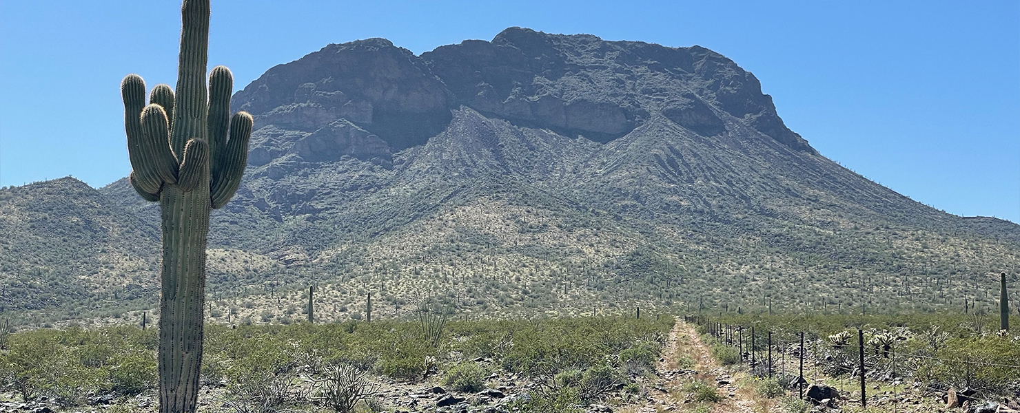
Stats:

3.8 mi

1,940 ft
Peaks Climbed:
Height
Prom
Woolsey Peak
3,171
2,071
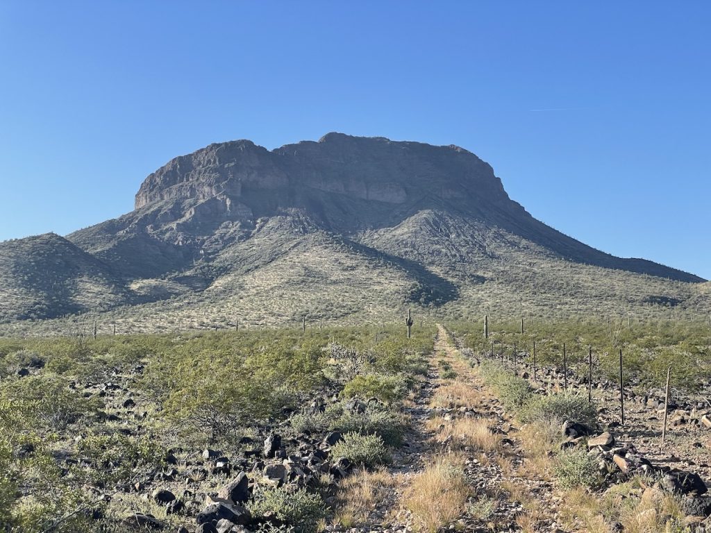
Beginning the hike, parked about halfway up the road. Starting getting real rocky, could have made to the end of the road but it was getting to a point where it felt like I could walk faster than I was driving.
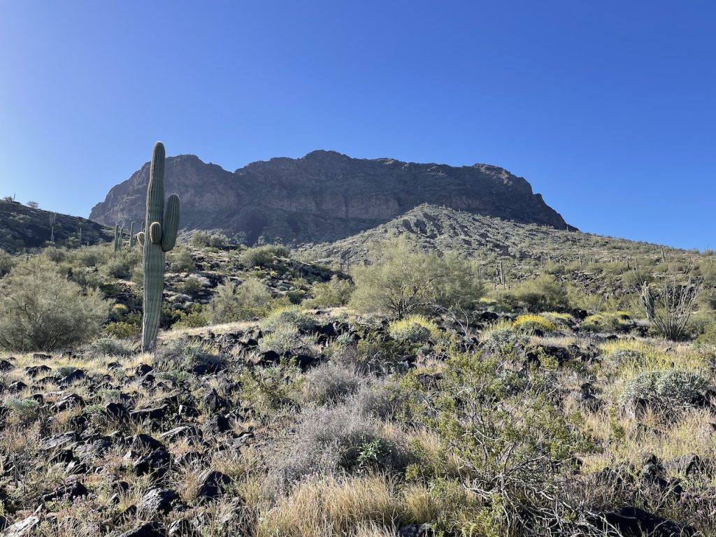
Road ended and now it was time to head up the slope.
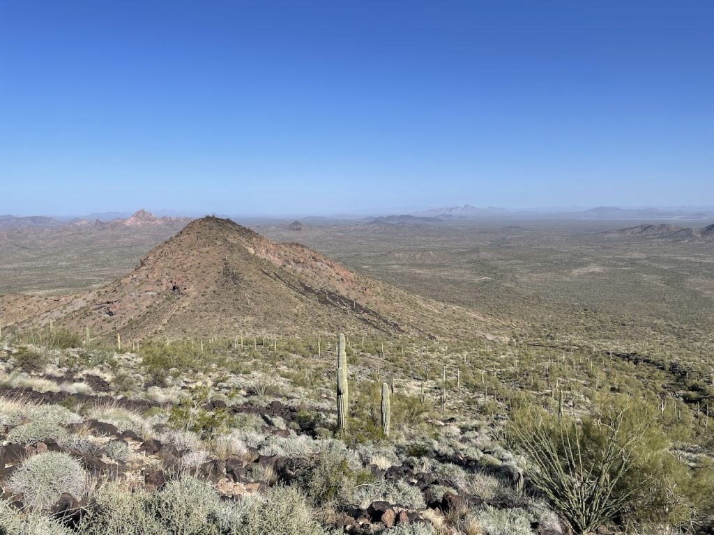
View looking back.
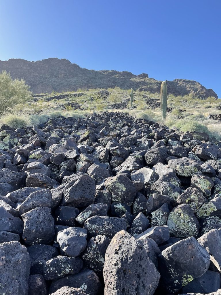
Reached the boulder field, thankfully they seemed pretty stable.
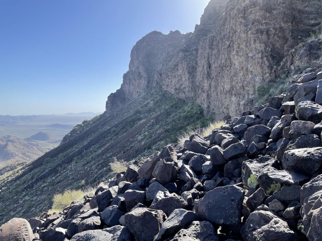
Some pretty impressive cliff bands.
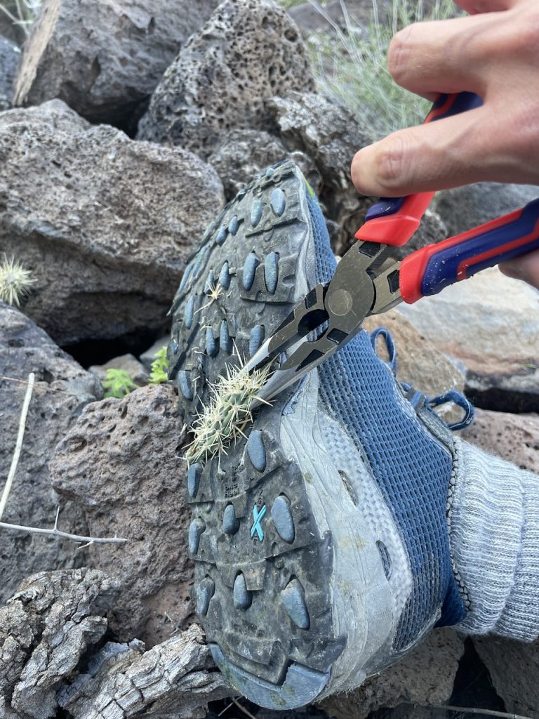
Nearer to the top the chollas start coming out. Glad I brought the pliers on this hike.
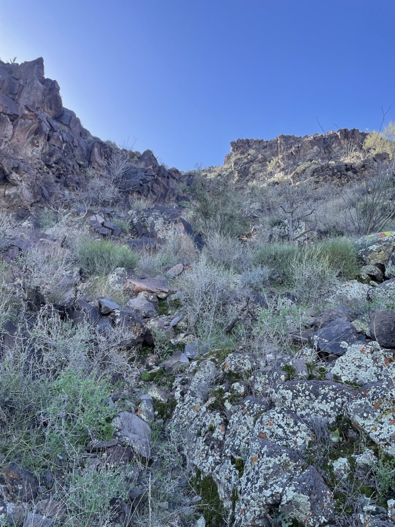
Continuing on up, remember the route was pretty straight forward.
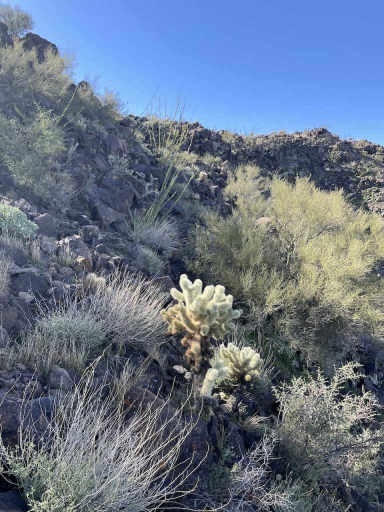
Last couple of feet before the reaching the summit plateau, started running into more Cholla, but they were easily avoidable.
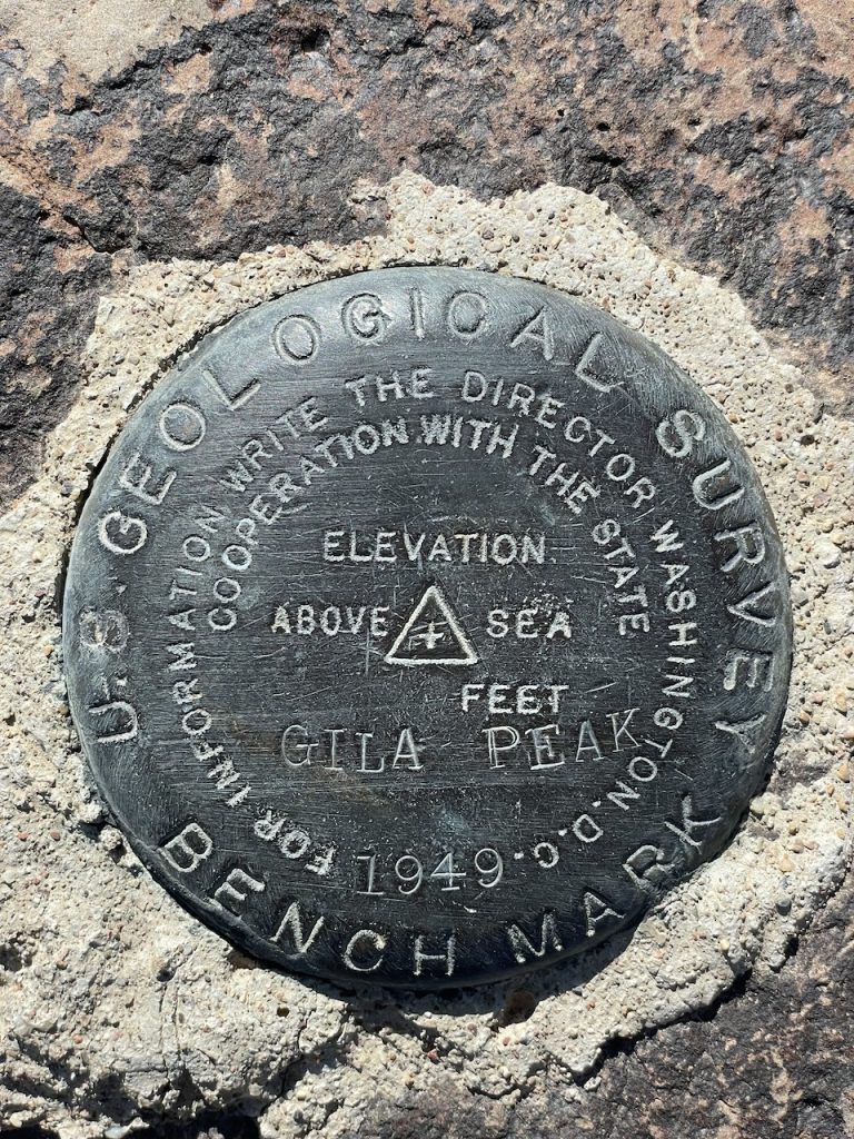
Summit Benchmark.
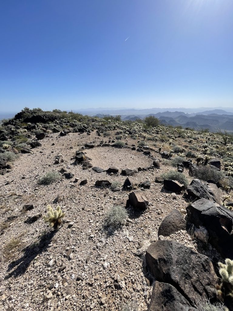
Interesting stone circle on the top. Not sure who made this or its significance.
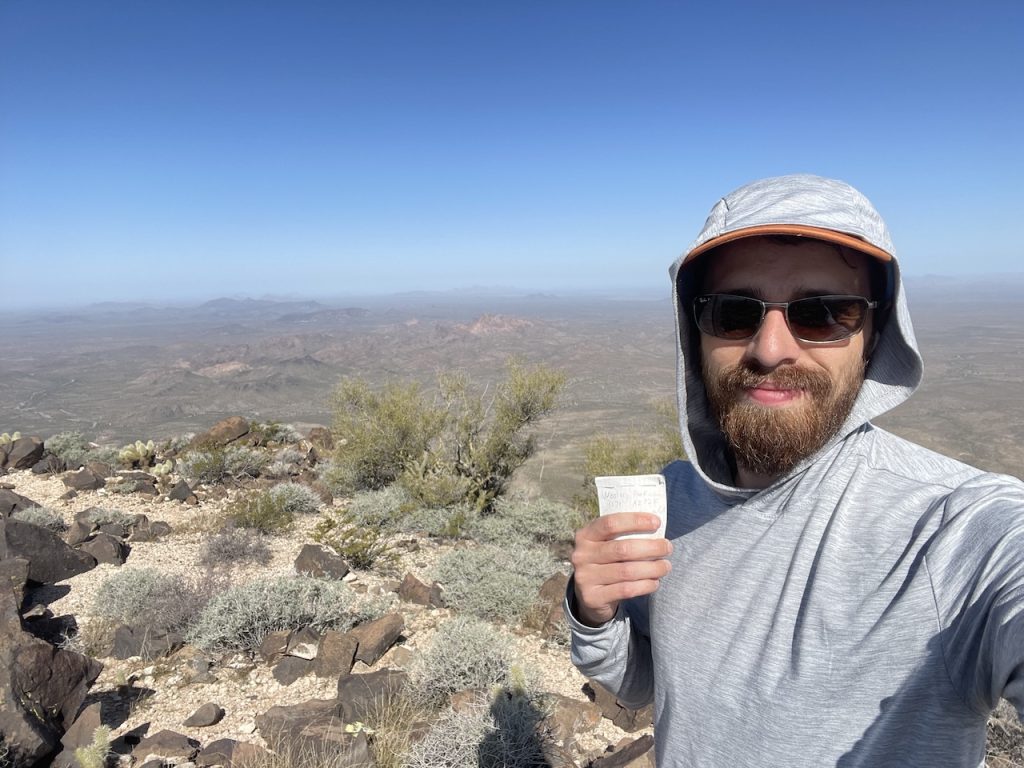
Summit selfie.
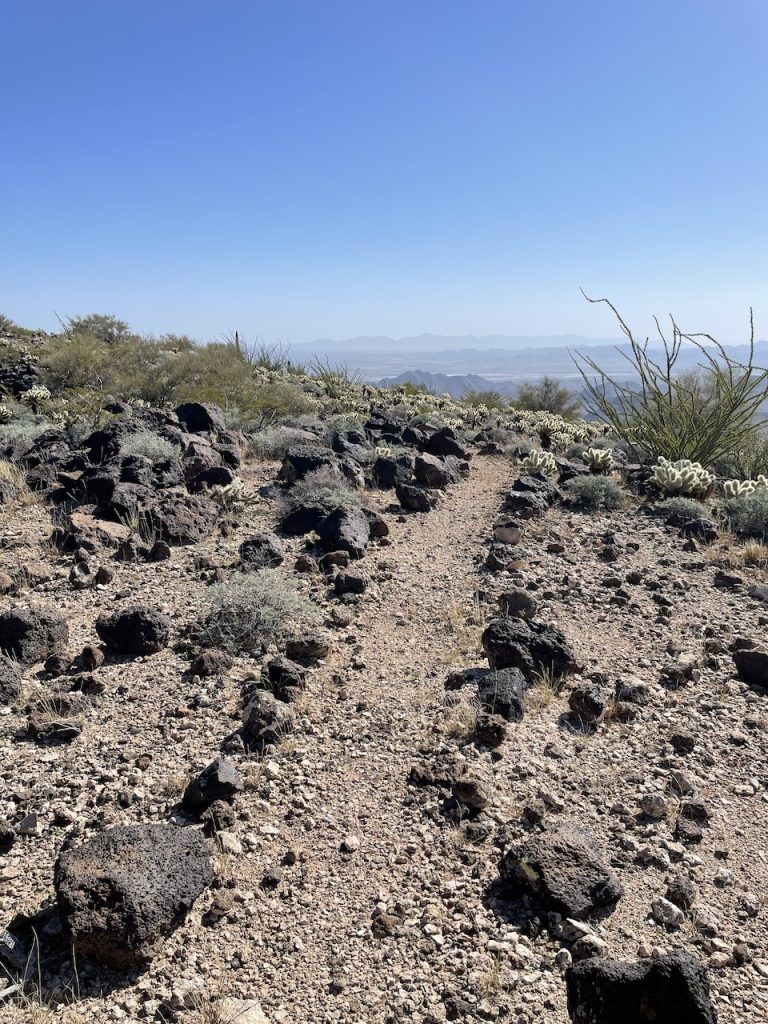
Someone had spent quite a bit of time up here.
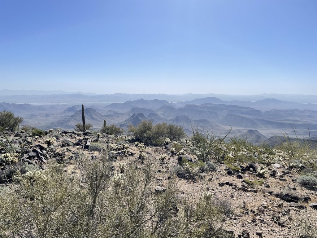
View looking south.
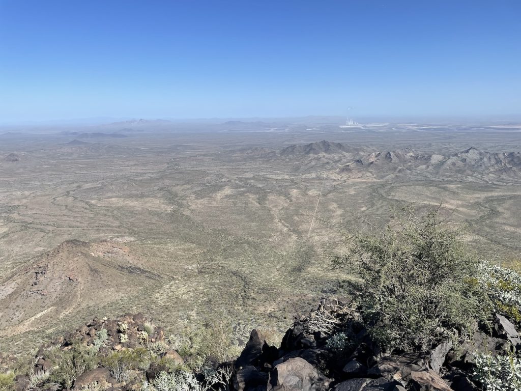
View looking north.
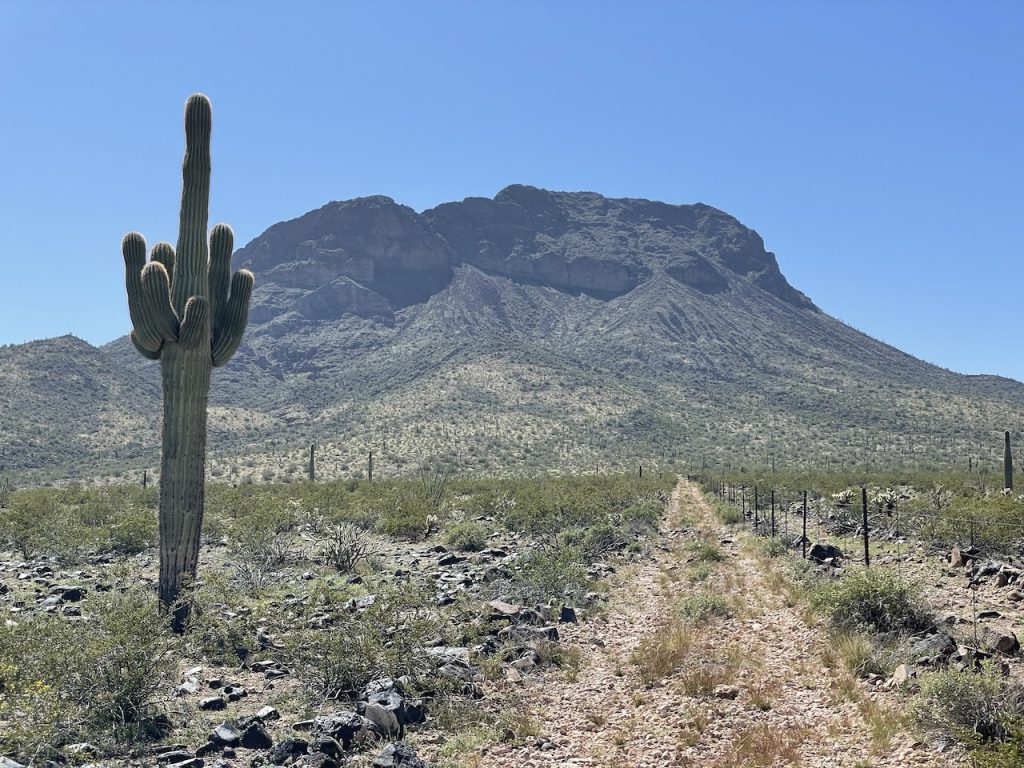
Parting shot of the peak.