Pinta Benchmark
Cabeza Prieta National Wildlife Refuge, AZ
Cabeza Prieta Wilderness
Stats:

18.6 mi

2,120 ft
Peaks Climbed:
Height
Prom
Pinta Benchmark
2,950
2,010
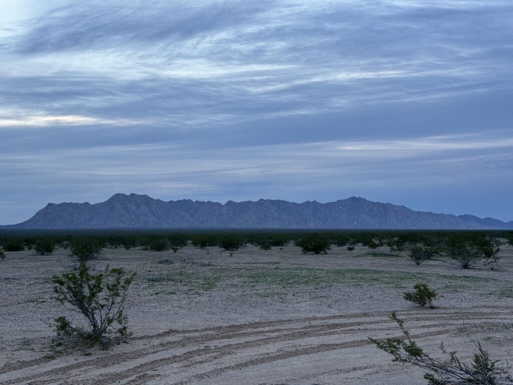
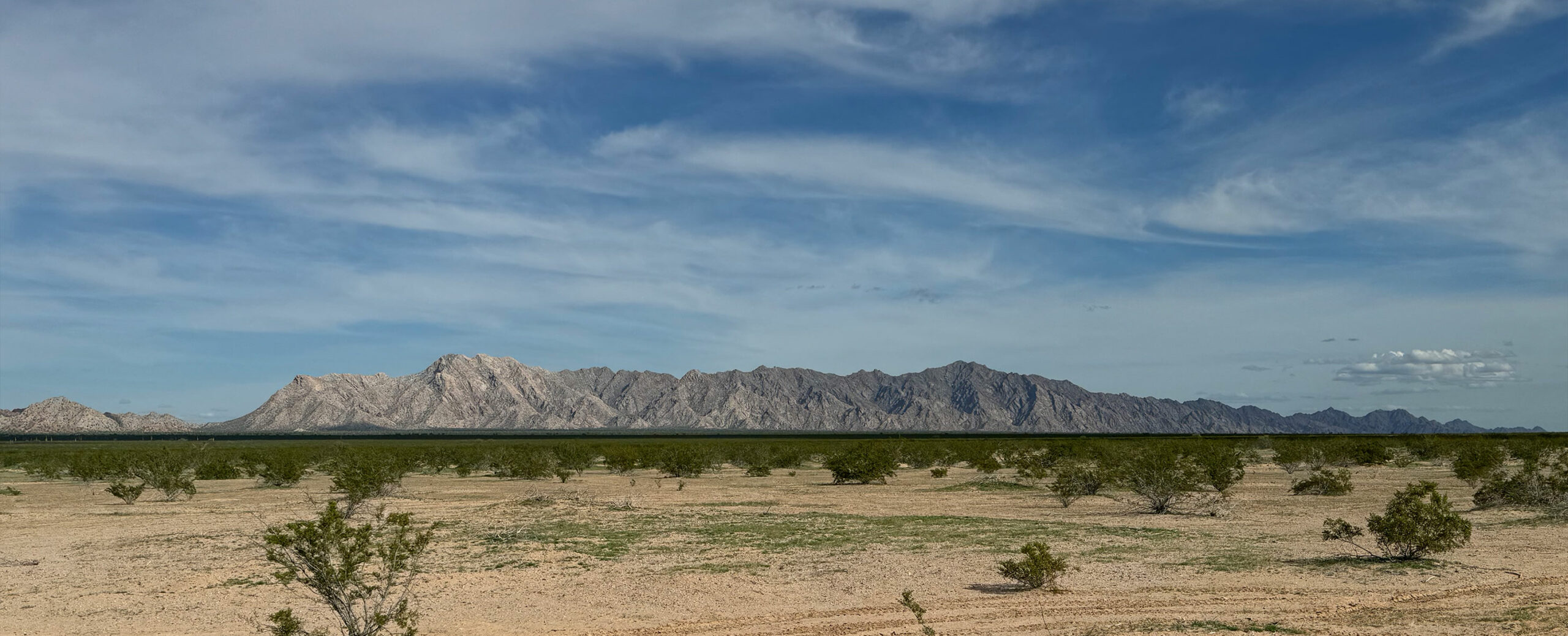
Pinta Benchmark from our starting point, we've got a long way to walk.
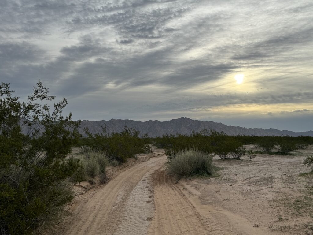
Sun has now risen. Still making our way across the desert following the road.
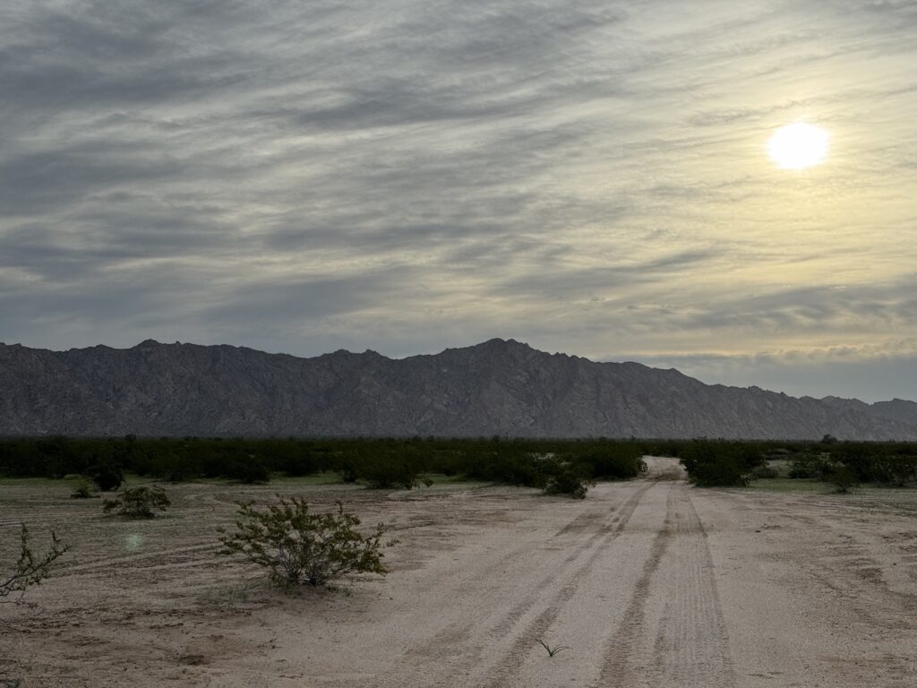
Getting closer.
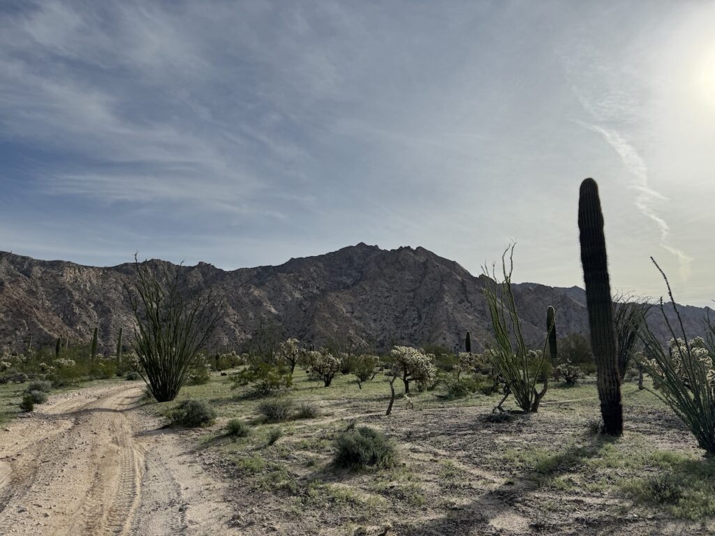
and closer, at this point entered a Saguaro forest.
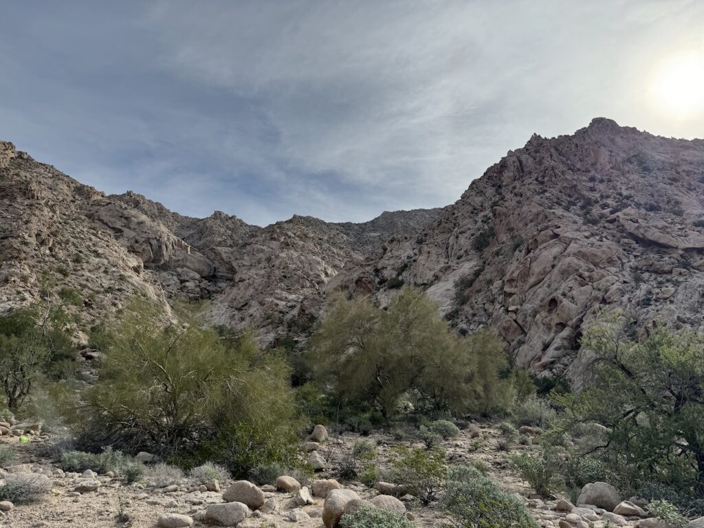
Reaching the mouth of the canyon we'd take to the top. We'd follow the main drainage for a while but also slowly make our way up the slope on climbers right.
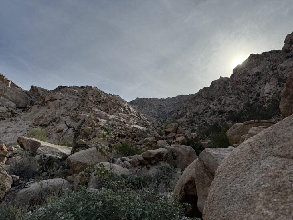
Making the way up.
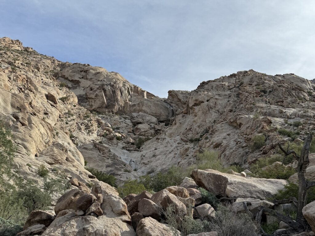
A cool dry fall looking east. Would be cool to see with water falling.
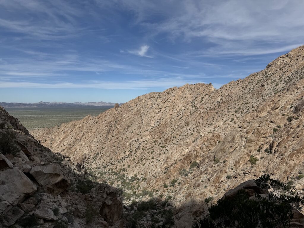
Making our way up the canyon, looking back.
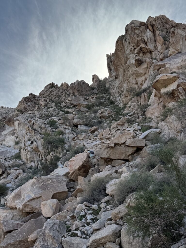
Some good boulder hopping.
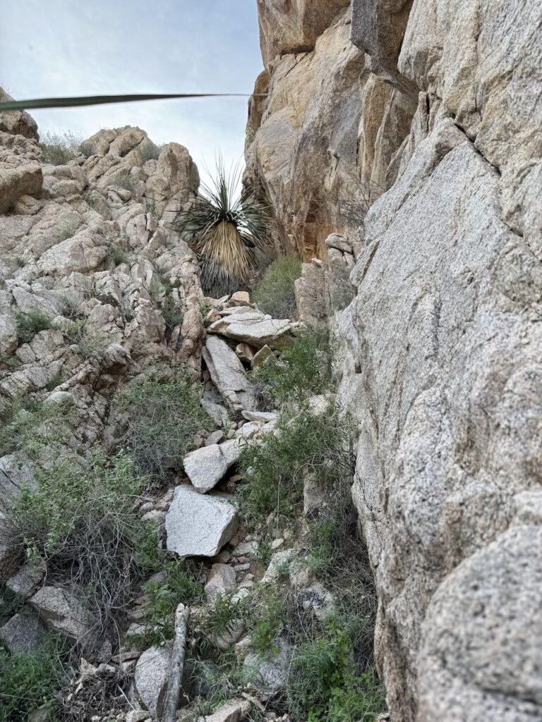
Going up this chute.
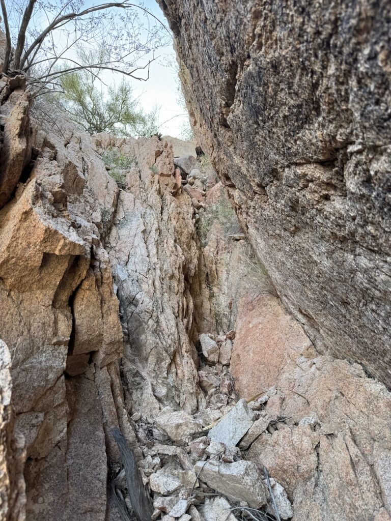
This maybe the crux of the hike, the rock was very crumbly at this point which made this 9ft or so to gain interesting.
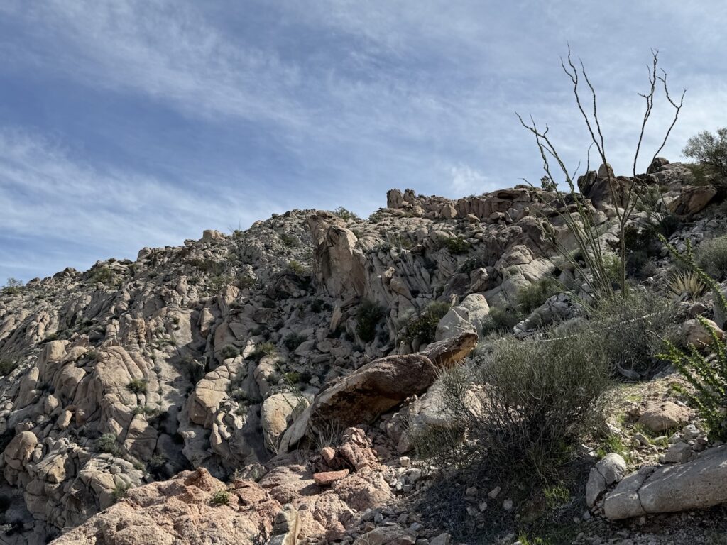
Gained the chute, just now some class 2 to reach the top.
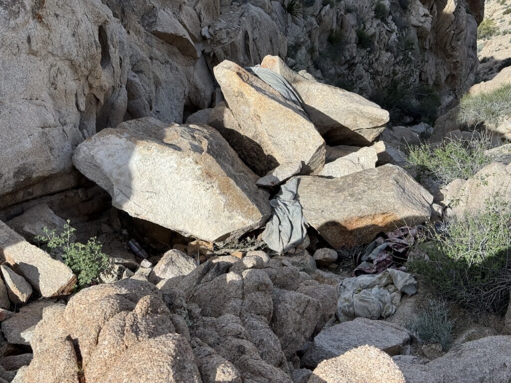
One unfortunate thing about this peak was the trash from migrants. Not sure why they're coming all the way up this mountain. The only thing I could think of thinking back was to get cell signal, from the summit it was pretty good, elsewhere none at all.
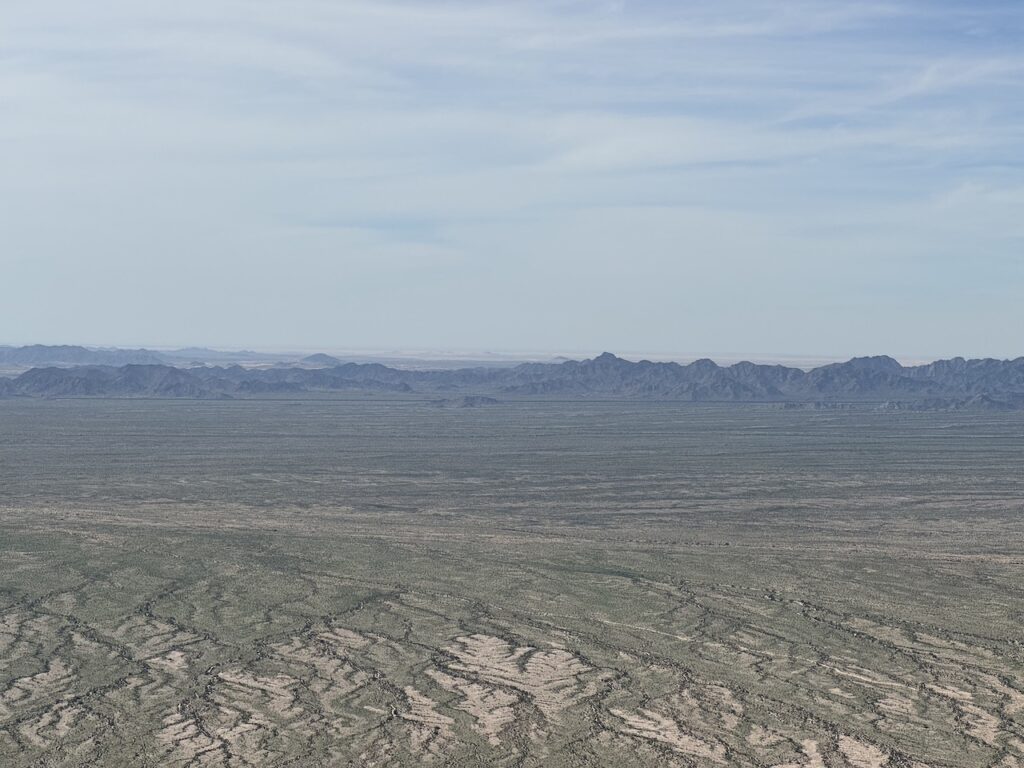
View looking towards the south. The border fence can be seen. Wasn't sure, but we thought we could see into the Gulf of Mexico, this photo says otherwise.
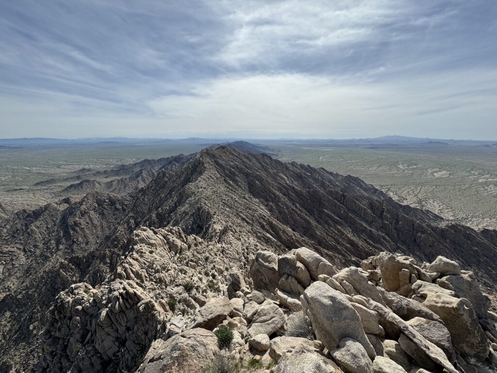
View southeast, down the Sierra Pinta Range.
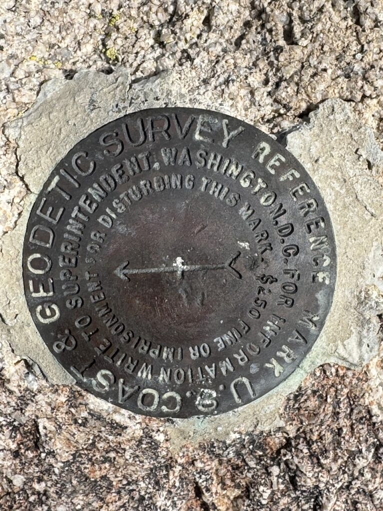
Couldn't find the Benchmark, but found this unknown Reference Mark.
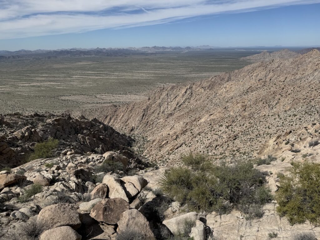
Heading back down, we decided to take a more direct way down, following the drainage all the way.
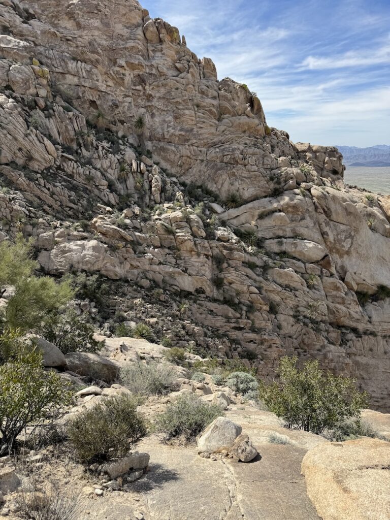
On a bit of a shelf, made the drop from here.
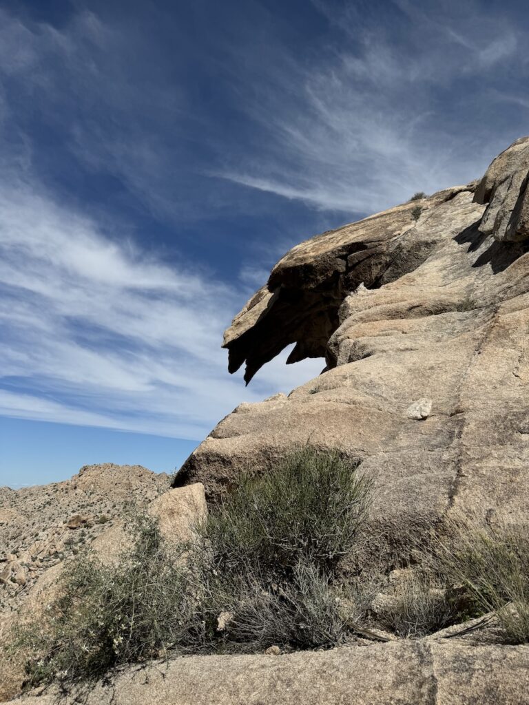
Some interesting formations along the way.
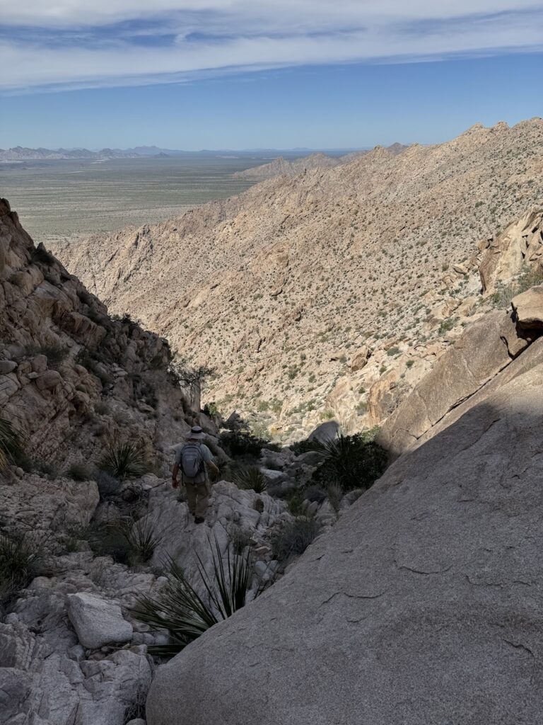
Continuing down.
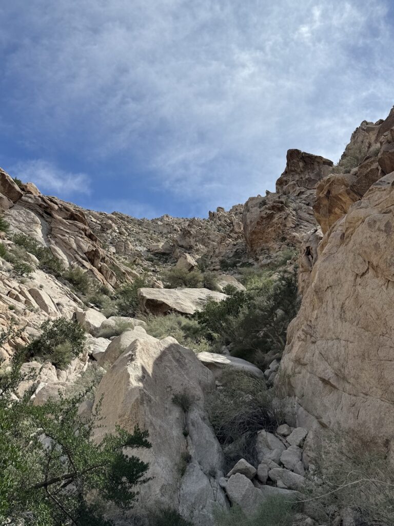
Looking back up.
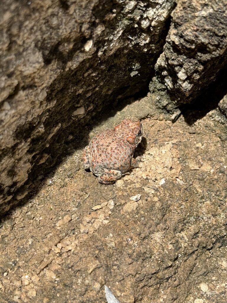
Very surprisingly found a desert frog. A very unexpected find!
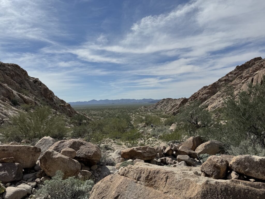
Getting to the bottom of the peak and back to flat ground. It was still a long walk back to the car.
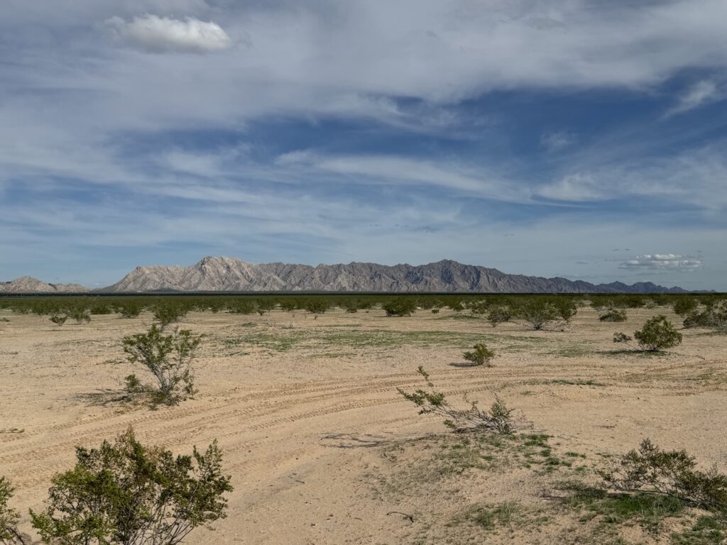
Back at the car, looking back towards the peak. Not done yet still had a long drive back to the highway.