Had been looking at going for Signal Peak for the longest time, if only to fill in the Utah’s County HP map and the most southwestern county. This latest trip finally was in the right place and with the right amount of time to go for it. There are a couple of different routes you could take to reach the rather unimpressive summit. For this reason, I decided to go for the summit from the north. So I could add on the lower, but much more unimpressive view, Burger Peak. Sadly though, the name still is some false advertising; there were no burgers to be found at the summit, only views.
I did quite enjoy the hike up to the top. Starting off as a typical, dry, and open hike towards the mouth of a canyon. But once reaching the canyon, things turned green quickly. I was surprised with just how much water was flowing in the creek that the trail follows a good way up. Once getting near the top, there is an easy-to-miss use trail that will take you up to the top of Burger. After enjoying the views of Burger, it was time to make my way over to the ever-so-slightly higher peak of Signal. Since the forest was fairly open, it was very minimal bushwhacking, I just made my way in as a straighter of line as I could to the saddle between the two peaks and then directly up the east slope. Once on the top, the reports were right; there wasn’t much of a view. But that was another peak checked off the list.
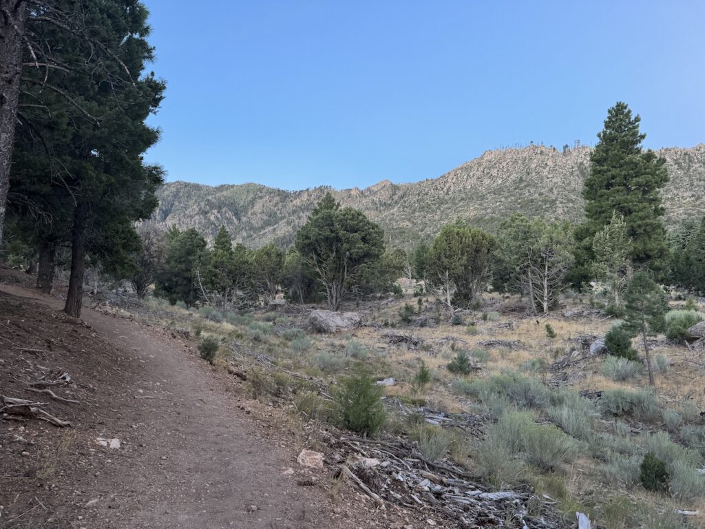
Starting out on the trail, open and dry.
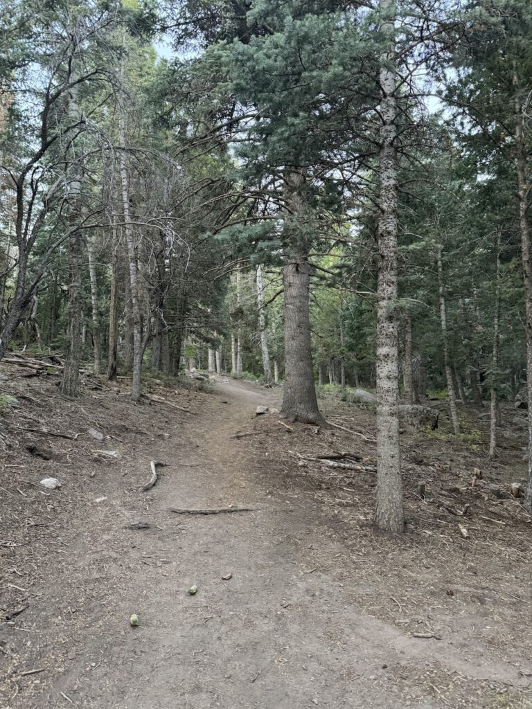
Getting closer to the mouth of the canyon the forest begins to get thicker.
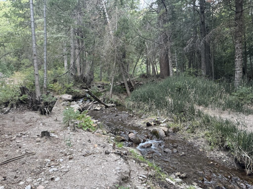
Along the way up there was a surprising number of creek crossing as you go over the Forsyth Creek a number of times. Maybe the crossing weren't very surprising but more the amount of water that was flowing.
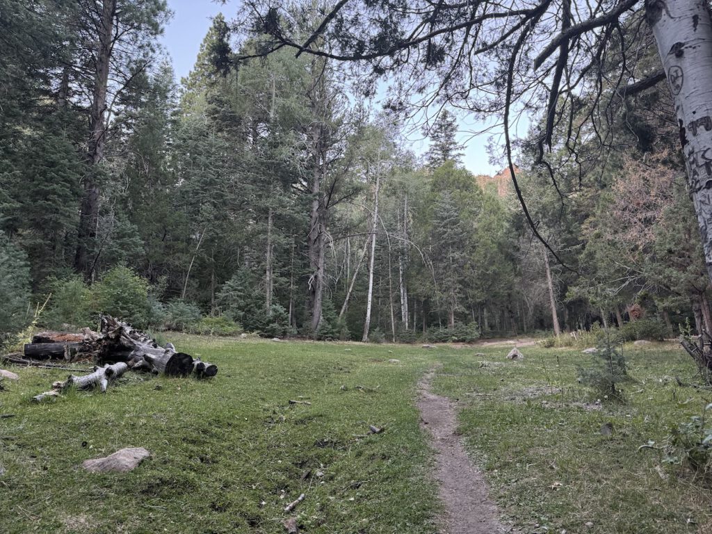
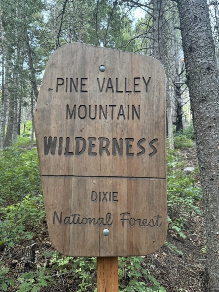
Entering the Pine Valley Mountain Wilderness
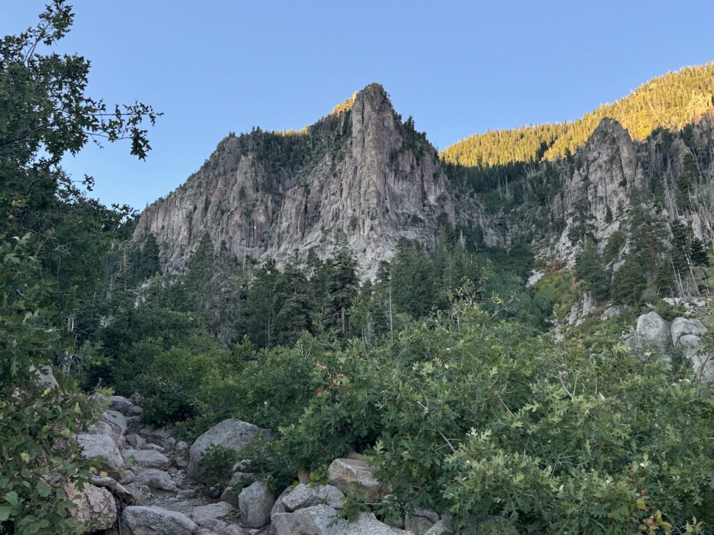
Some cool cliffs going up the canyon.
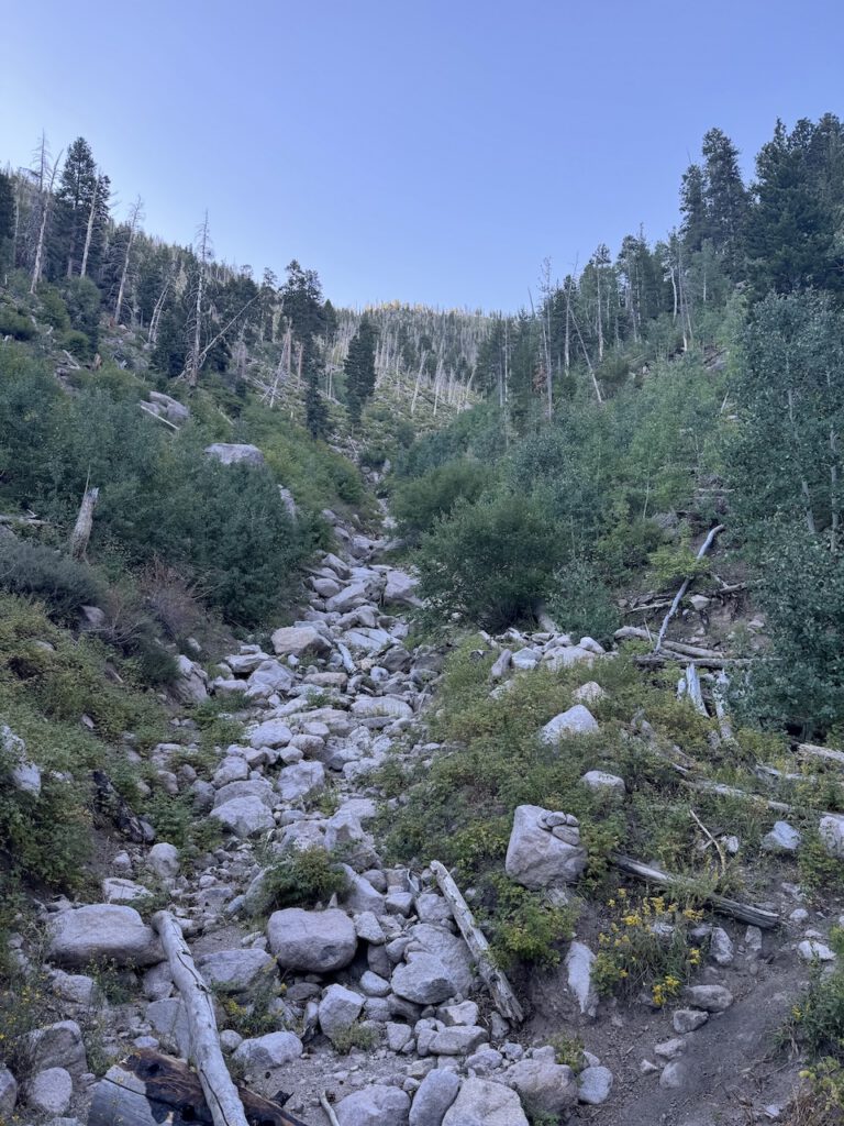
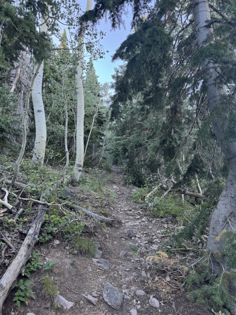
Trail got pretty rocky at times, but this was about as bad as it got.
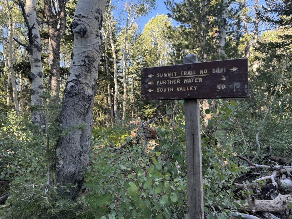
Trail junction, continued onto the Summit Trail.
Trail here quickly gained some elevation.
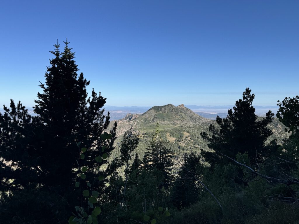
As I got higher, more views opened up. Looking northwest towards an unnamed Peak 9,747.
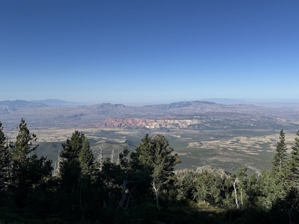
Looking south towards the Red Cliffs National Conservation Area.
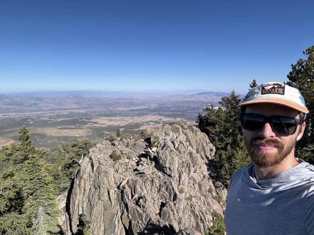
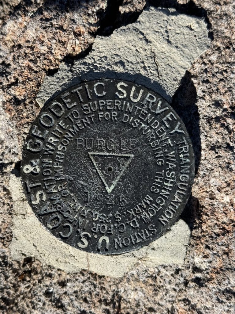
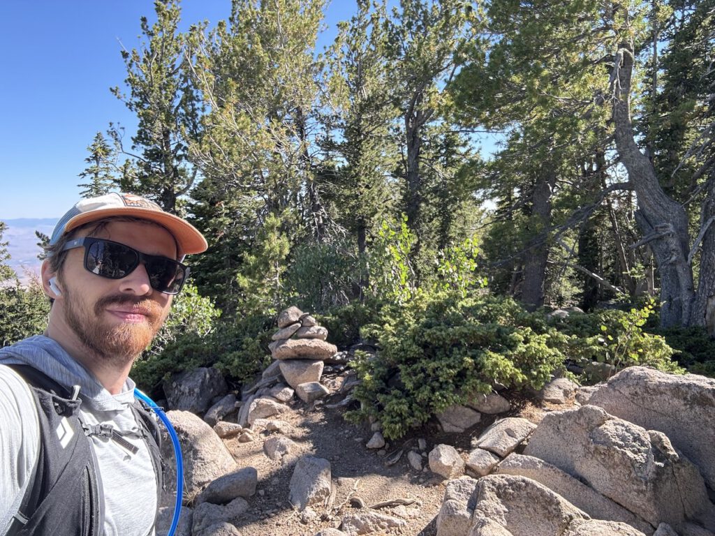
Summit of Burger Peak (unfortunately no burgers were available today).
Took a short use trail when reaching the trails highest point. If you continued on the trail it would drop down maybe 150ft to the near the saddle of Burger and the main goal of the day Signal.
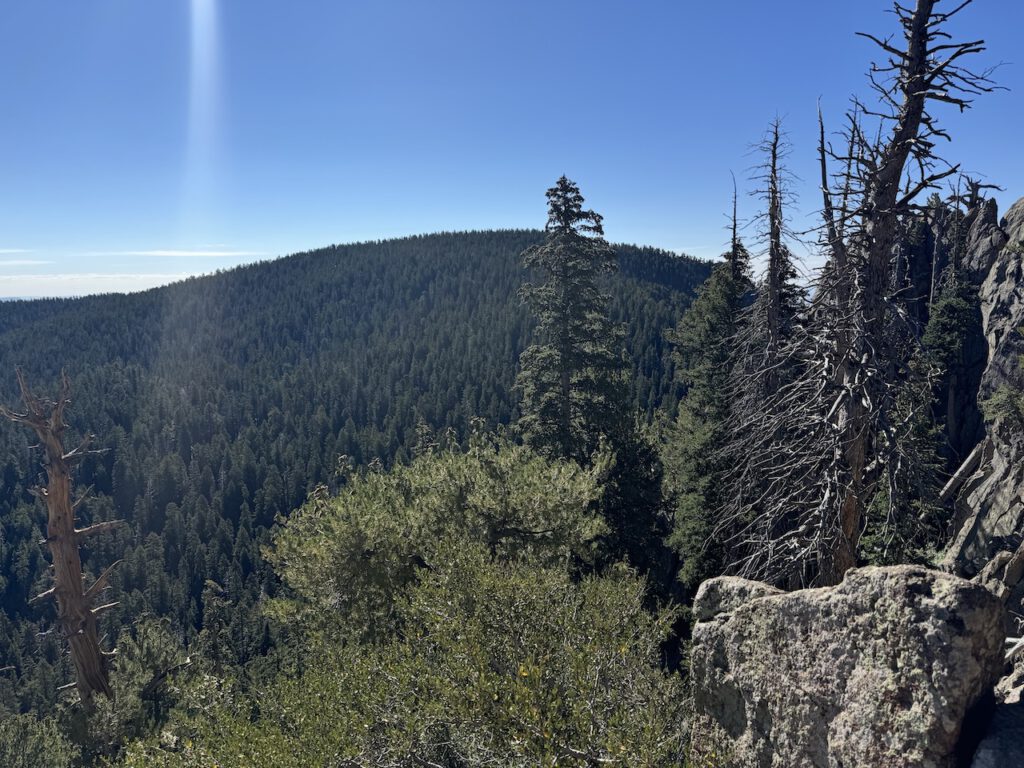
View from Burger towards Signal. From here I would basically head in a straight line towards Single.
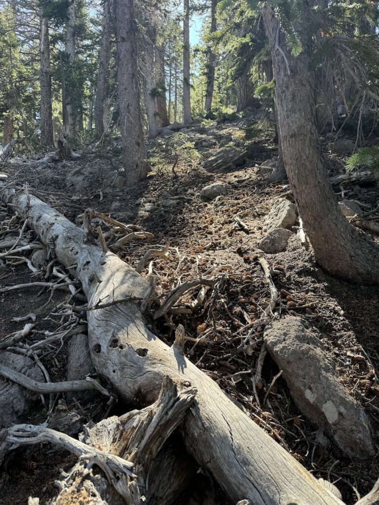
Heading up the western slope of Signal Peak. Thankfully the forest is relatively clear, making the climb fairly simple without much bushwhacking.
Some views from Signal Peak, the area is pretty broad and forested. So isn't really any clear views.
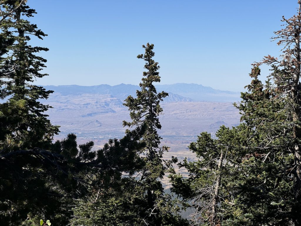
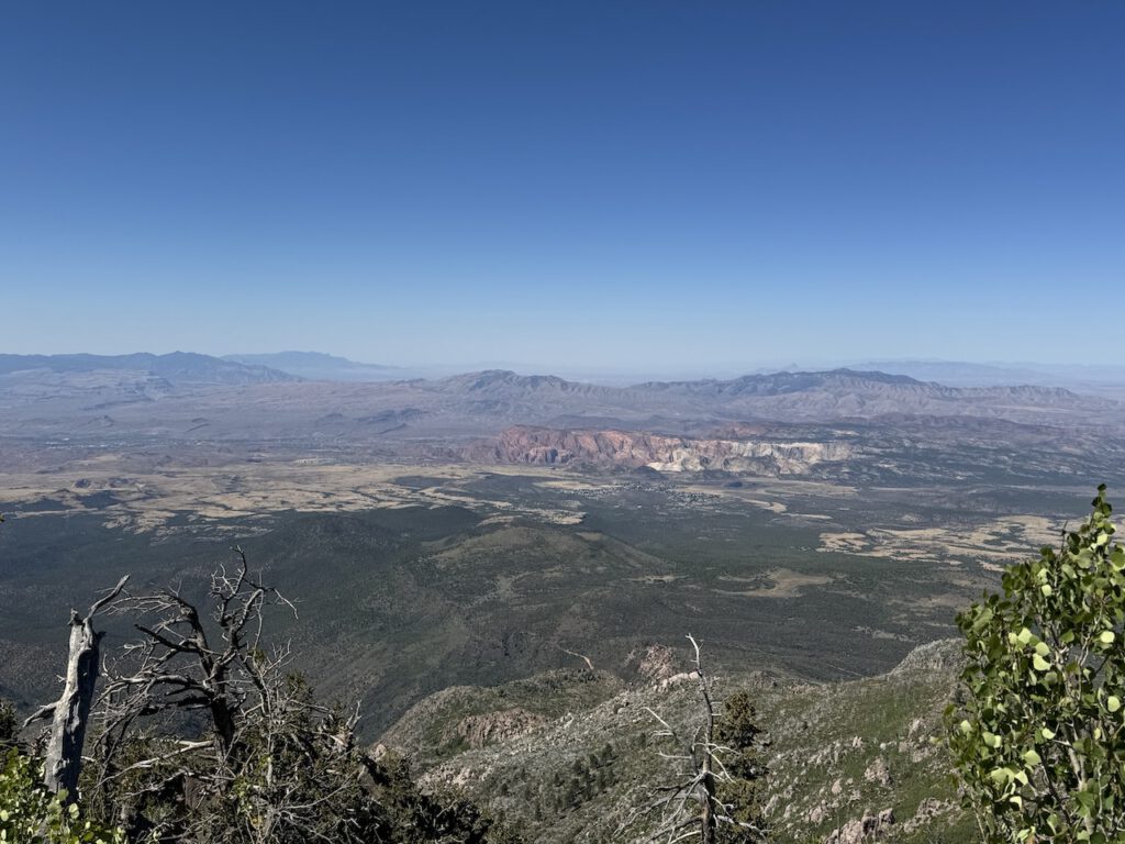
On my way back down stopped a great open viewpoint. Looking south, going left to right, Mount Bangs in Arizona and Virgin Peak in Nevada can be seen on the left. Thought it was cool to be able to see 3 states at once.
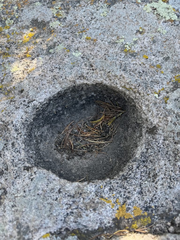
At the viewpoint saw what looked to be a Native American Matate. Tried searching if anyone else had mentioned it, but nothing. Thoughts?