Silver Peak

Coronado National Forest, AZ

Stats:

10.2 mi

3,020 ft

Peaks Climbed:

Height

Prom

Silver Peak

8,008

2,008

Silver Peak is an Arizonan P2K in the Coronado National Forest lies just to the east of taller and more well known Chiricahua Peak. It is also ~9miles west of the New Mexico border, in fact to reach the trail head I needed to drive into New Mexico and back into Arizona. In my goal of climbing all 73 Arizona P2Ks this was my 32nd.

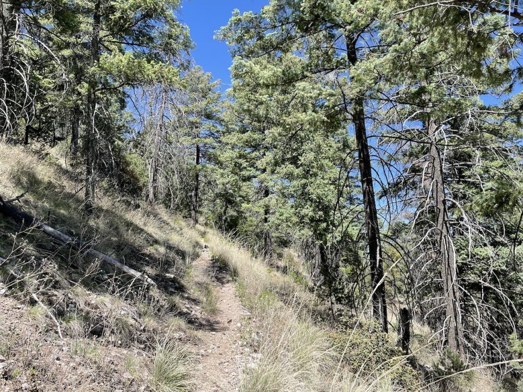
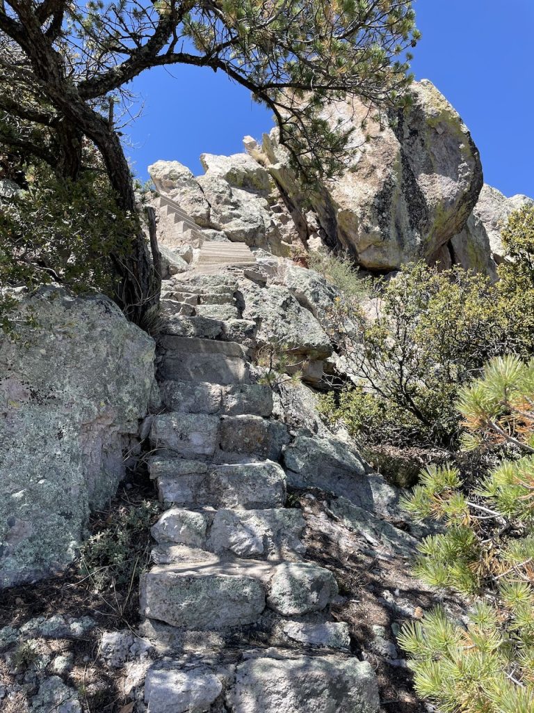
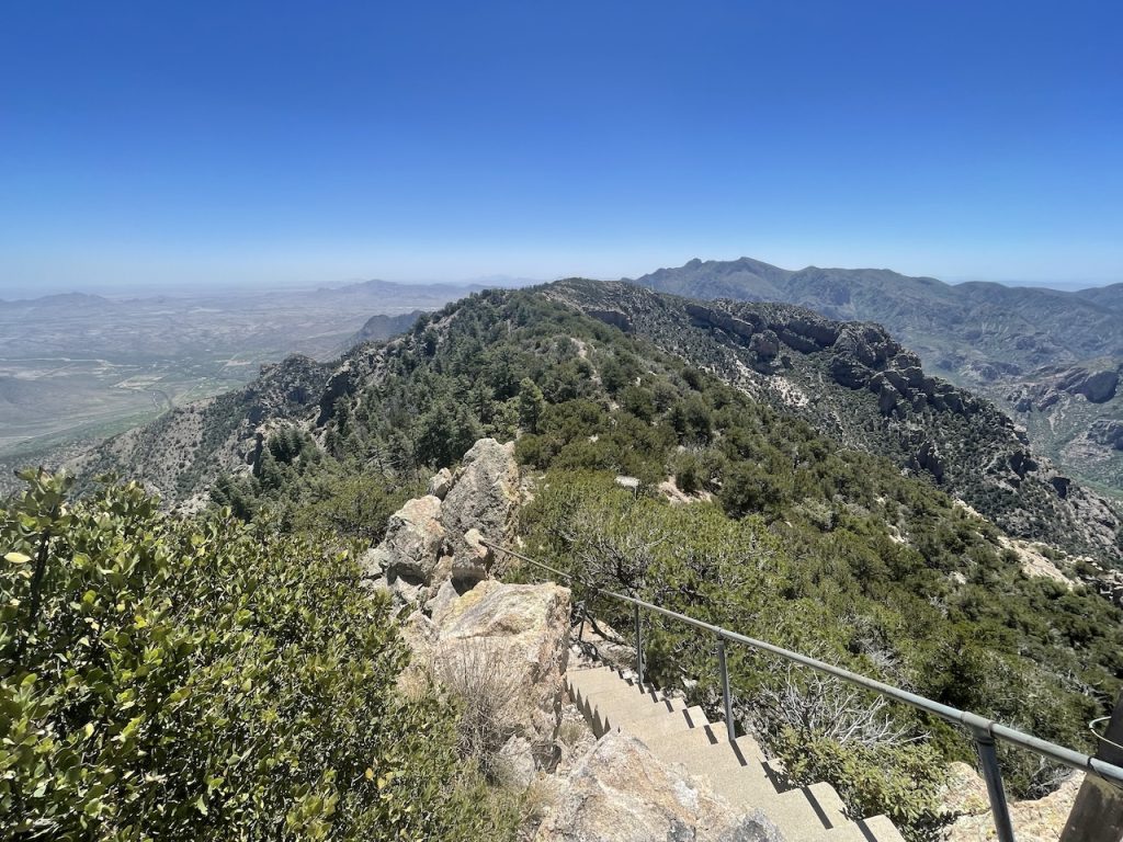
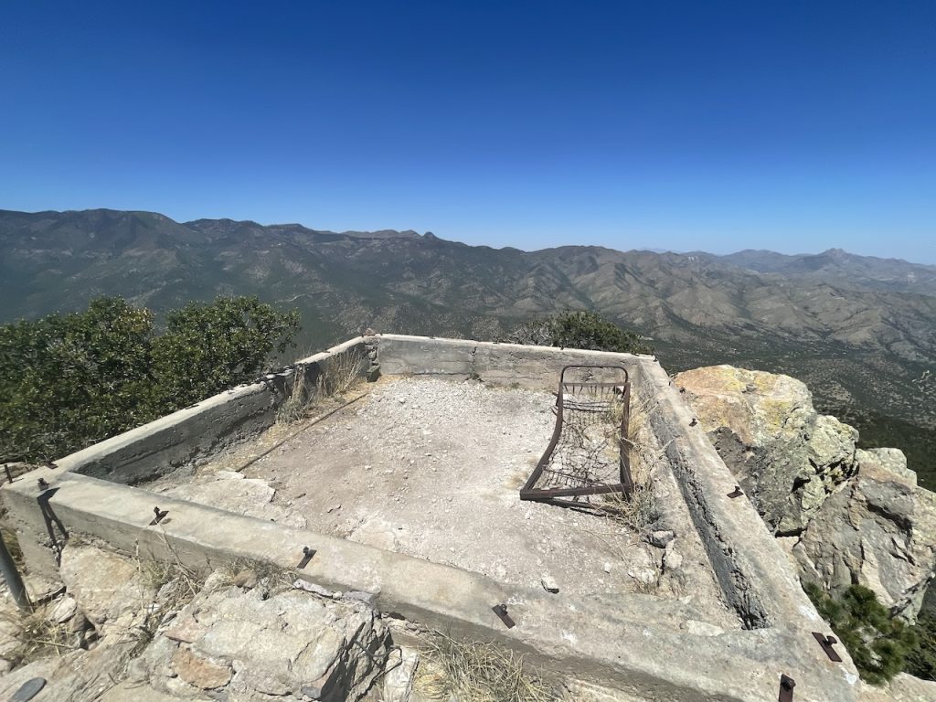
The trail up was pretty straight forward, a well maintained path and easy to follow tail all the way to the top. This was a welcome relief from some other peaks that had been completed earlier in the year. Closer to top you begin to enter a more forested area and to reach the summit there is a short section of steps built for what I would assume was an old fire lookout.
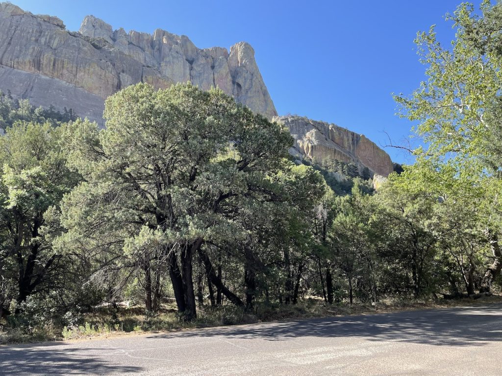
View at the parking area. Massive cliffs to the east.

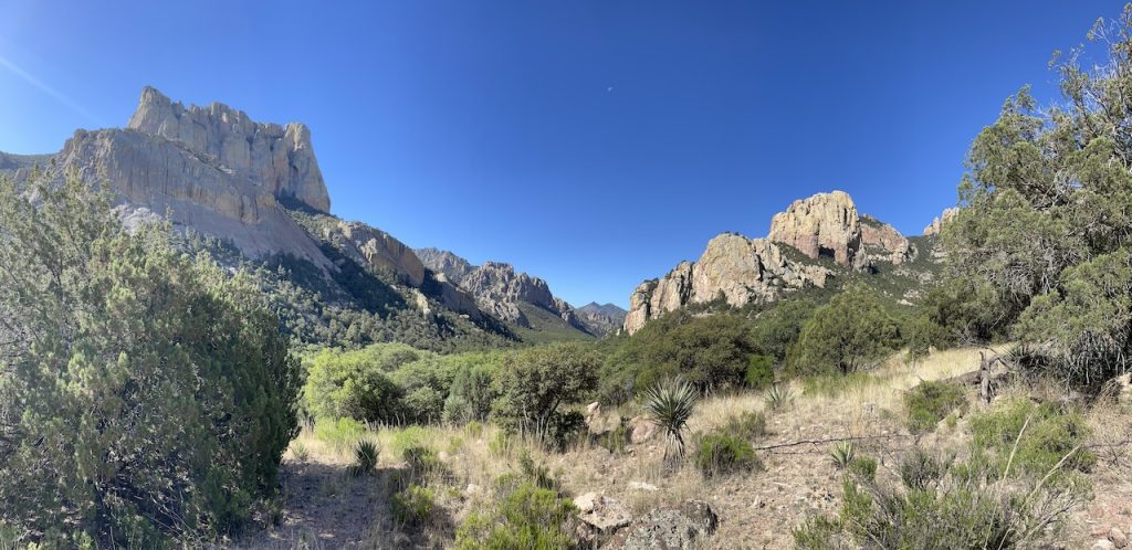
View a little higher up the trail of Cathedral Rock (left) and looking up Cave Creek Canyon.

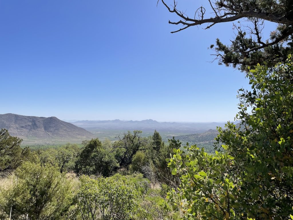
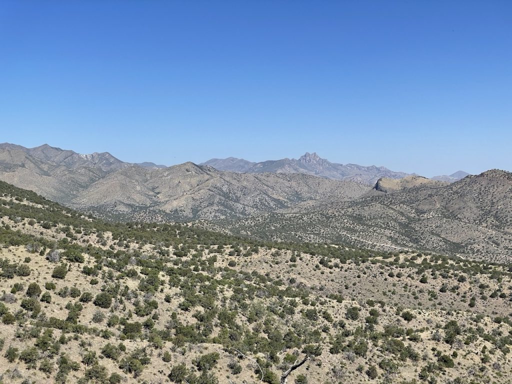
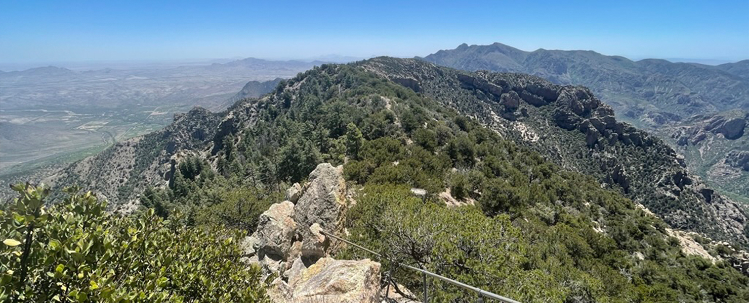
Looking north east.

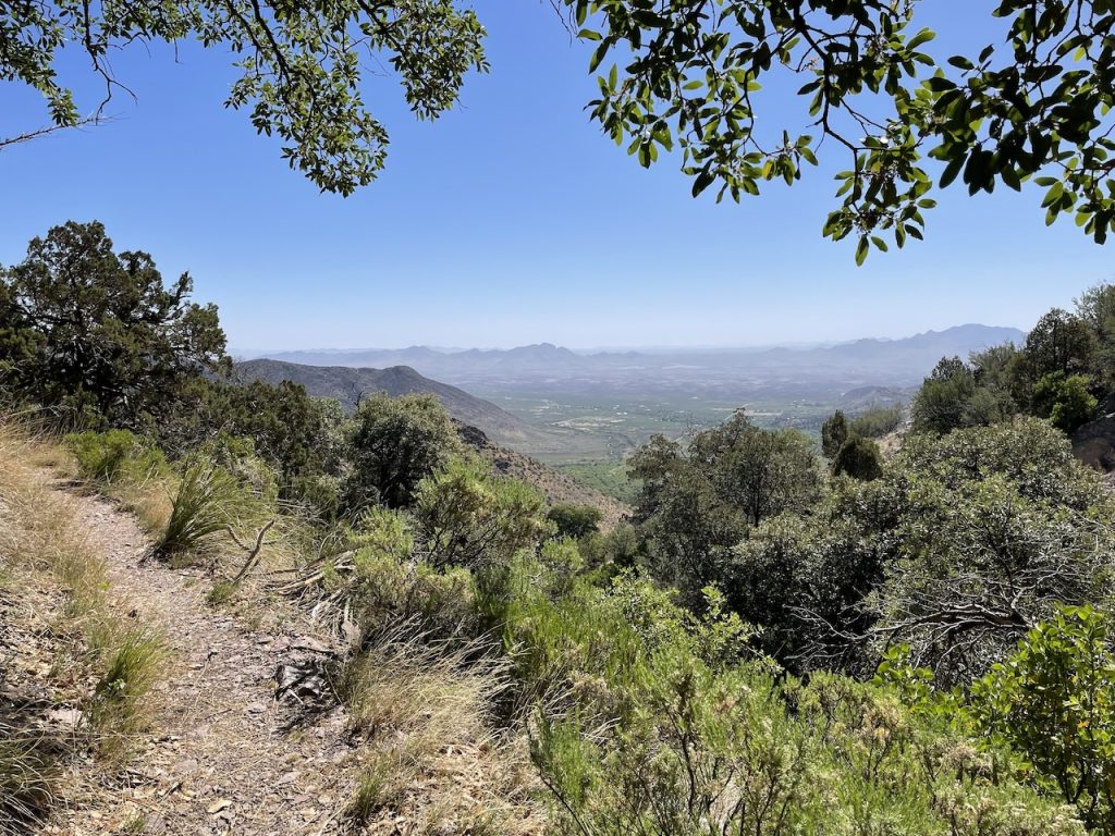
Continuing up the trail.

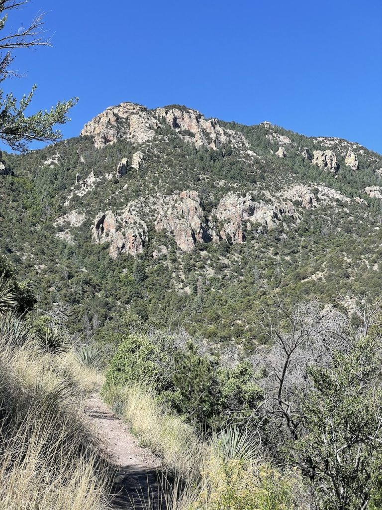
Getting the first view of Silver Peak, ~1500ft up.

View of Cochise Head.

Entering the forested area. It was nice to get that little bit of shade here. At this point things were warming up.

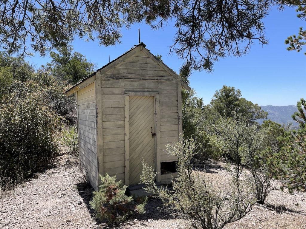
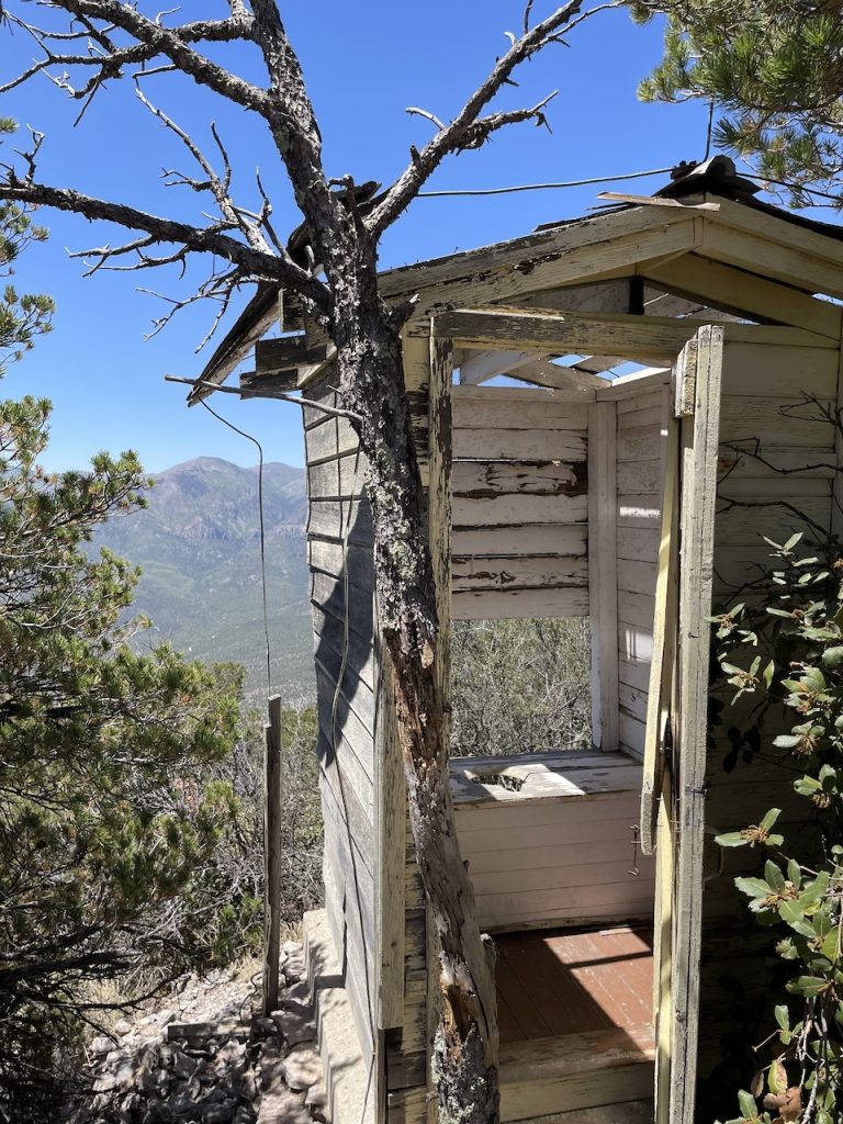
Interesting little hut/storage shed.

Last little section up the stairs to the top.

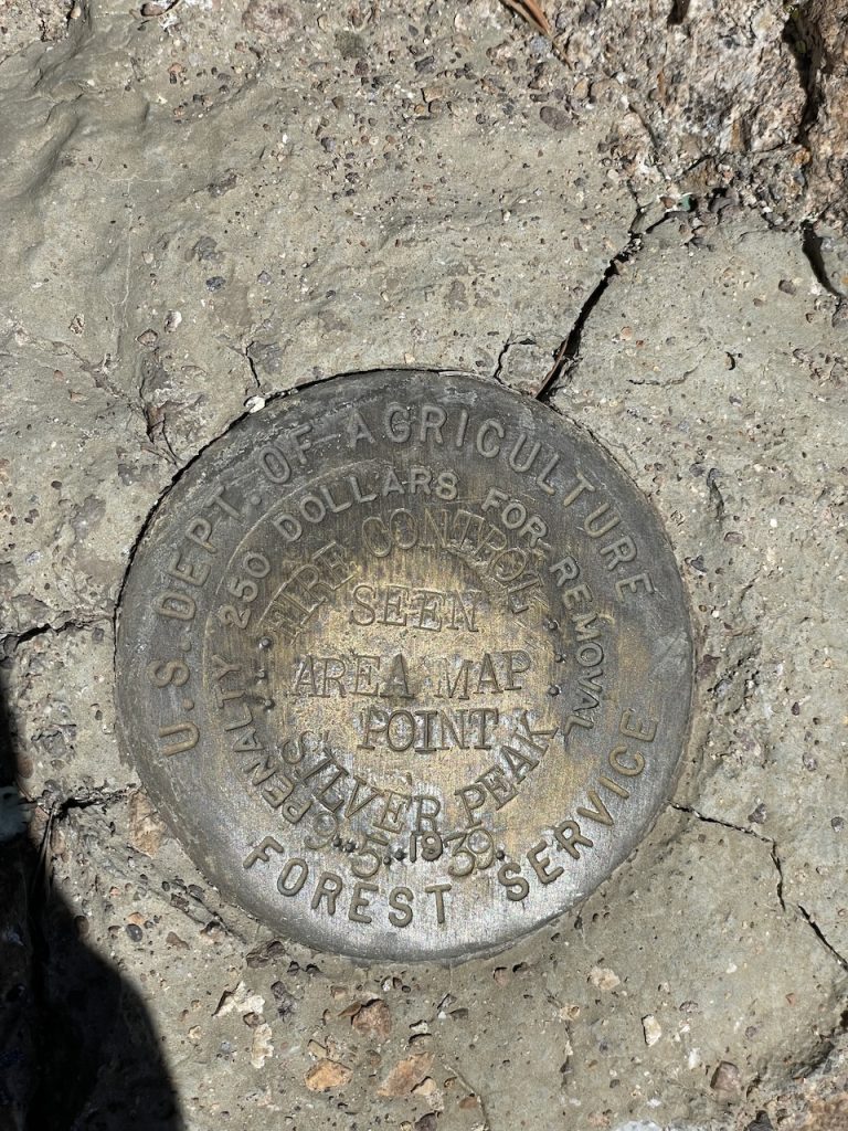
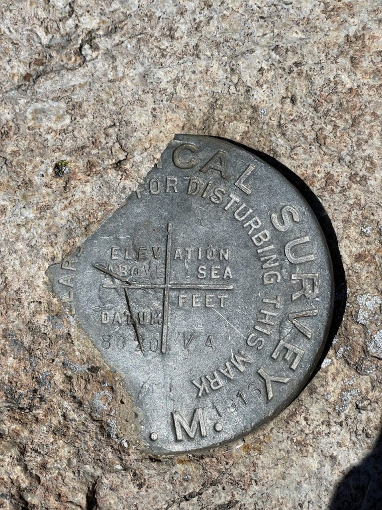
Forest Service Benchmark.

Very busted up benchmark. Not sure I've come across one that's been cracked like that.

View looking eastward.

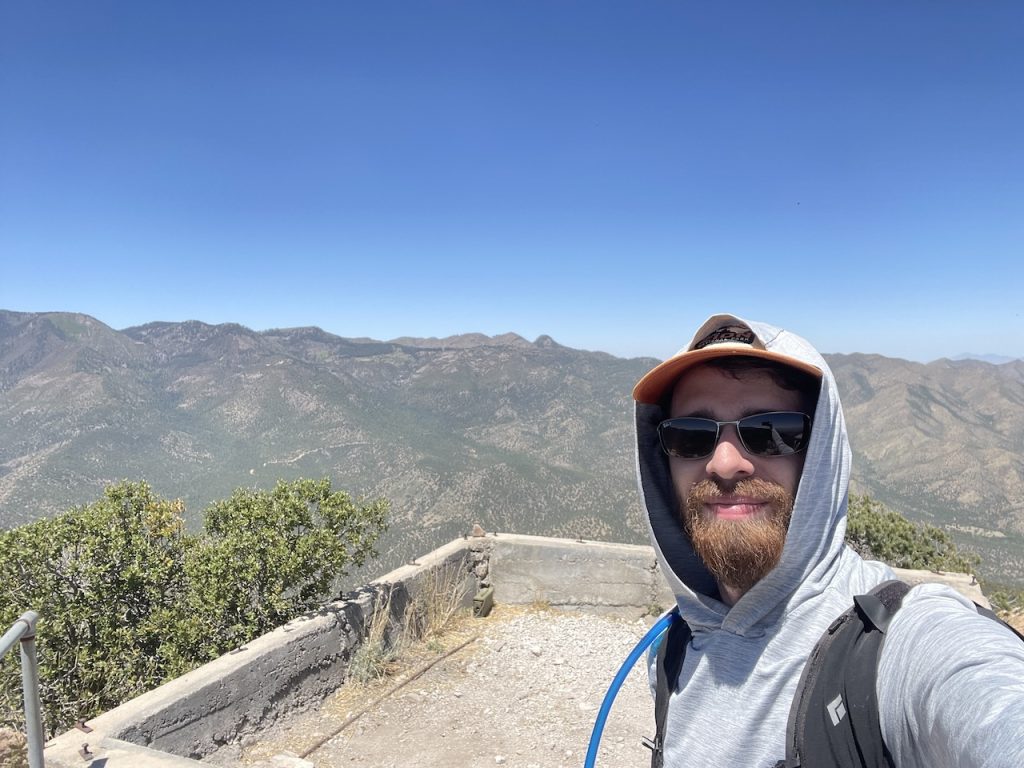
Summit selfie. Don't remember which, but one of those would be Chiricahua Peak at 9,759ft.

What's left of the look out tower. Bed doesn't look too comfortable anymore.

A loo with a view.

Almost there...with Matt